







Maps · 18 designs · 8 colorways
Find your map
National parks from public elevation data and OpenStreetMap, fishing grounds from NOAA nautical charts, and the world's time zones from the official tz database. Every contour, sounding and border is real. Point at a pin to see its map.
Glacier, Yellowstone, Yosemite, Zion, Grand Canyon and the Smokies, plus the Dolomites, Mount Fuji and Torres del Paine.
Fishing grounds with real depth soundings and the fish that run there: Kona, Montauk, Hatteras, Islamorada, Homer, Cabo, Newport and SF Bay.
Every time zone on land, drawn from the official tz database, with 67 cities and their offsets.
Four sizes from 12×12 to 48×24, three fabrics, eight colorways. Printed to order in California.
Pick your place.
Choose a colorway and every map follows along. Mix and match: buy 2, get 1 free.

World Time Zones Map Pad

Mount Fuji Topo Pad

Yellowstone National Park Topo Pad

Glacier National Park Topo Pad

Yosemite National Park Topo Pad

Montauk Nautical Chart Pad

Dolomites Topo Pad

Twin Globes

San Francisco Bay Nautical Chart Pad

Great Smoky Mountains Topo Pad

Grand Canyon National Park Topo Pad

Torres del Paine Topo Pad

Newport Bay Nautical Chart Pad

Los Cabos Nautical Chart Pad

Islamorada Nautical Chart Pad

Cape Hatteras Nautical Chart Pad

Kona Coast Nautical Chart Pad

Zion National Park Topo Pad

Homer Nautical Chart Pad

Want your spot mapped?
Your home park, your fishing hole, your town. Tell us where to draw next.
Questions, answered.
Where does the map data come from?
Park terrain comes from public elevation data, with trails, roads and names from OpenStreetMap. The nautical charts use NOAA's electronic nautical charts for depths and hazards (Los Cabos uses public seafloor data). Time zones come from the timezone-boundary-builder project, which follows the official IANA time zone database.
Can I navigate with a chart?
No. They're accurate drawings of real charts, but they're desk mats, not navigation charts. Use official, up-to-date charts on the water.
Which size should I get?
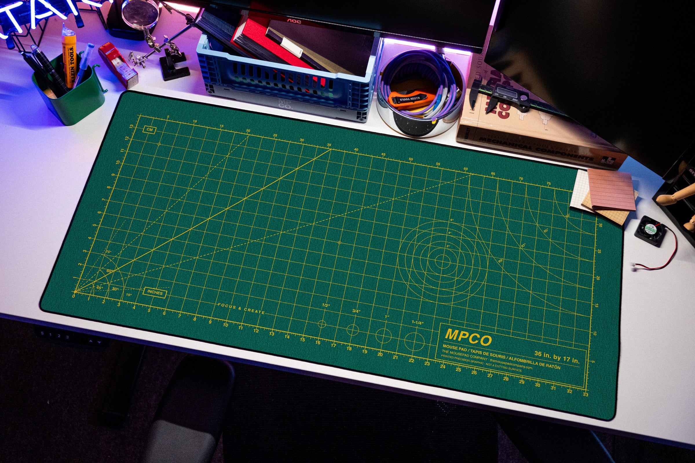
Large (36 × 17 in) shows the whole map with room for a keyboard and mouse. XXL (48 × 24 in) covers most of a desk. Medium (17 × 17 in) and Small (12 × 12 in) focus on the heart of the map, with the legend under it. World Time Zones comes in Large and XXL.
What's the difference between the fabrics?
DuraGlyde is built for durability, AeroGlyde for speed, and StablGlyde for control. All three are the same price. The fabric guide has the details.
How are they made?
Every pad is printed to order by hand in Southern California, so the graphic can sit slightly off-center. That's hand placement, not a misprint.
What's your return policy?
You have 30 days to return; the customer covers round-trip shipping. See the refund policy.